The new Oxford Area Trails System maps, created using the pre-existing Miami University Natural Area maps and the City of Oxford’s Oxford Area Trails (OATS), won best in the reference map gallery and best of show map across all categories at the 2023 Ohio Geographic Information Systems (GIS) Conference.
The conference, hosted by the County Engineers Association of Ohio, was held in Columbus in September. Zachary Moore, a GIS coordinator and planner for Oxford, presented the new OATS map at the event.
“This was my first GIS conference, and I figured I would toss my hat into the ring and submit the map to various categories at the conference,” Moore said.
Moore worked with Miami’s GIS coordinator Robbyn Abbitt, assistant city manager Jessica Greene and Natural Areas field manager Nancy Feakes to update the kiosks along the Oxford hiking trails by creating the new OATS map.
“I was given the opportunity to participate, and I love maps and making them, so I was happy to jump right in,” Moore said. “Another thing that actually made this map possible was a land cover dataset that we got from a company in Toronto, Canada.”
The dataset from Ecopia AI predated the newest trails in the area, but it facilitated the creation of the custom map. The dataset consists of aerial images that digitize every building footprint, road and sidewalk. This dataset provided the contextual information that was embedded into the map in addition to the trails.
“That dataset helped bring the map to life because we were able to have waterways with Four Mile Creek being the most substantial one,” Moore said. “The city purchased the dataset a while back for climate action to understand tree cover, but it fit the scope and mission of the project and ultimately helped us create a graphically beautiful and usable map.”
Abbitt oversees data collection and management of the Miami Natural Area trails, which are updated using information collected by students in advanced GIS classes. Abbitt has had her own team of students collecting GIS data on a regular basis since 2019.
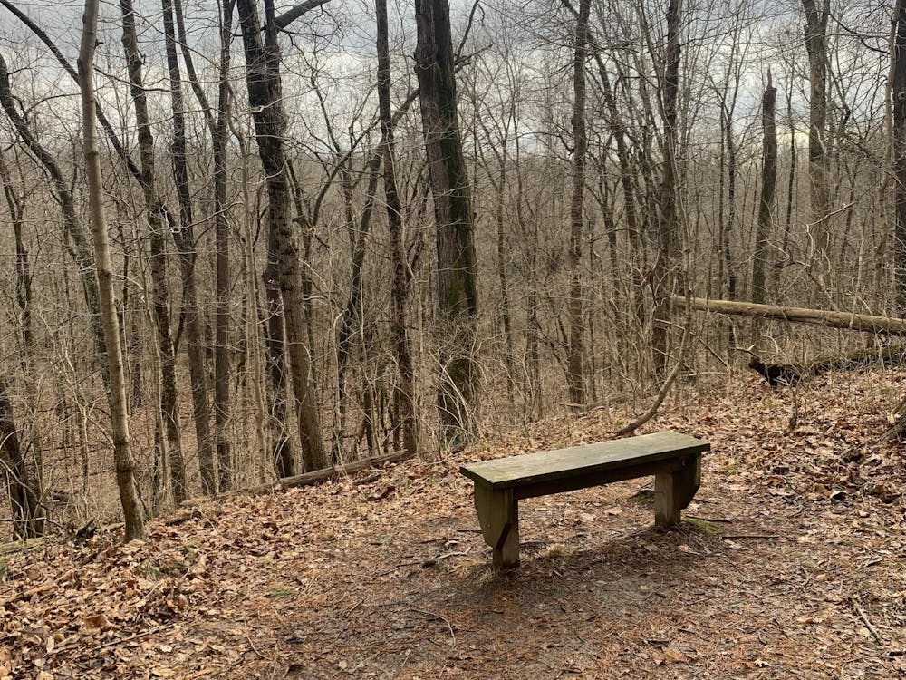
Since 2017, Oxford has been working on a paved network of trails for OATS, which has led to some dirt Natural Area trails being paved.
“Our two trail systems are now linked because they share space, so we had meetings and determined that the city is responsible for the upkeep of the paved trails, but Miami also has a responsibility because the land is still Miami Natural Areas,” Abbitt said.
The final result of these meetings between Miami and the city was the creation of the current network of trails. Previously, Miami and the city each maintained their own maps at trailheads, even though both trails were very similar.
“Now there is collaborative signage that still has distinctions between Miami Natural Areas, the green dotted lines, and OATS map trails, which are the purple lines,” Abbitt said. “For the user, it's much easier to think about.”
Enjoy what you're reading?
Signup for our newsletter
Maria Klocke, a senior geography and urban and regional planning double major, was on the team that updated the Natural Area trail print maps last fall. The creation of Miami Natural Area trail maps included students using GPS units to gather trail data, bringing the data back to the computer lab to clean it up and then placing the data on a cartographic product.
“I think that having that cohesion between the Miami and Oxford maps is really important for users,” Klocke said. “It's really neat to see something I contributed to win an award.”
Currently, the city is paving trails between Peffer Park and Talawanda High School. The next phases include connecting the high school to Talawanda Middle School and connecting the middle school to the Oxford Community Park. There will also be a public segment on Brookville Road that passes through the upcoming 86-home Owl’s Landing subdivision.
“The Oxford Area Trails System was a great example of the town and gown partnership between Miami and the city,” Moore said. “Everybody seemed pretty thrilled with the end result.”
Read More

Board of Trustees adopts 2027 budget, approves funding for FSB project
By Shannon Mahoney | 3 days agoThe Miami University Board of Trustees approved the fiscal year 2027 budget and heard presentations on MiamiTHRIVE and athletics at their June 26 meeting. The board also authorized the creation of the Cleveland Clinic president’s fund, which would be used partially to fund the joint quantum computing initiative with the Cleveland Clinic.
Board of Trustees approves Miami Plan changes, AI in majors and departmental mergers
By Shannon Mahoney | May 21, 2026Miami University’s Board of Trustees voted to approve the Miami Integrated Learning Experience (MILE), the addition of AI across all majors, departmental mergers and increasing tuition and fees for the incoming cohort.

Police raid house, seize cocaine
By Shannon Mahoney | May 14, 2026A SWAT and Oxford Police Department (OPD) team was seen raiding 16 E. Walnut St., a house named “Mtn Dew.”