By: Archer Hill
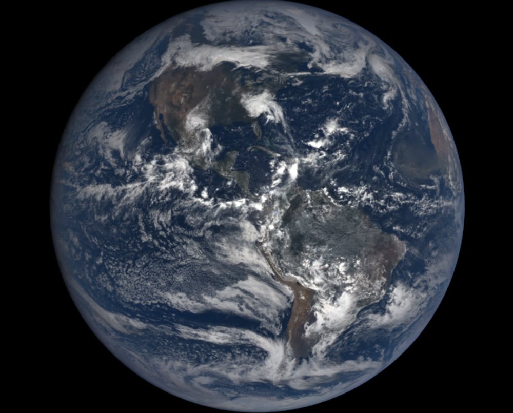
On Sept. 14 Hurricane Florence battered the East Coast, and the scientists at NASA’s Goddard Space Center observed from above. From the macro picture down to the most minute details, everything was tracked. Dr. Chris Neigh—an Earth Science and Remote Sensing civil servant who works at NASA Goddard Space Flight Center (GSFC)—spoke as part of the Miami University Geography Department’s Data Science series on Sept. 21, 2018 about the work he and his colleagues do from above that impacts our lives below.Dr. Neigh’s research more specifically focuses on the rate of change in the natural world, and how humans relate to it. In many ways, he and his colleagues are carrying on the torch first lit at NASA’s inception in 1958. Following the famous ‘Earthrise’ shot of our pale blue dot, taken during the Apollo 8 mission in 1968, America’s government and citizens began to realize the importance of studying not only the outer reaches of space, but also the planet we inhabit.
Sadly, that idea has fallen from orbit in recent years—especially where the U.S. government is concerned. The NASA budget has been trending downwards as a percentage of the overall federal budget over the past two decades. Perhaps surprisingly, President Donald Trump has actually increased NASA’s budget during his term—to approximately $20 billion in 2018. Still, only 10 percent of that (about $2 billion) goes to Earth Science. (Presumably the rest will fund research into ‘Space Force’.) Compare that to the Department of Defense (DOD), which received around $650 billion. Increasingly, NASA earth scientists are having to do more with less.
And yet the scientists and analysts at NASA GSFC undertake pioneering work. One of the most recent projects Dr. Neigh and his team (including Miami Assistant Professor of Geography Dr. Jessica McCarty) have worked on is concerning food security in the mostly-agricultural Tigray region of Ethiopia. Using several satellites, complex code and high-end computing, they have mapped a large portion of the region and determined the type and density of agricultural production. This information will be used to help locals access to market-based crop index insurance during drought years and improve their overall food security.
Perhaps most fascinating is the work Dr. Neigh is currently doing to research climate change. Using high-resolution satellite imagery and field data to track and analyze boreal forest growth across northern latitudes in Siberia, Russia and British Columbia, Canada, his team is trying to establish trends in tree height and growth patterns over time. This could ultimately help explain how changes in the forests relate to Arctic warming and predict what the future may hold for us all.
The sheer power of satellite imaging technology, which allows us to view ever-more-minuscule details of Earth from above, has many applications beyond food security and climate change. High-resolution satellite and geospatial technology is in high demand among militaries, government agencies, defense contractors and businesses. This has created a “Wild West” of sorts in the private sector. A number of startups have recently launched, which hope to gain a foothold in orbit. In fact, a recent report estimates that the global GIS market is expected to grow more than 10 percent per year over the next four years. Universities, too, are trying to keep up with these changes by introducing programs (like Miami’s GIS Certificate) to train the next generation of remote sensing specialists. And while it is unlikely that any Elon Musk-type will directly unseat NASA’s dominance in the satellite and geospatial industry, we would be wise to keep a watchful eye on the changes in the sky above—as NASA and others keep a watchful eye on us below.